|
Hello, how can we upload a csv with custom polygons to Collect Earth now that Fusion Tables are not supported? What's an alternative way of getting the geometry attribute in the CSV? I have a custom plot layout that I am predefining with a CSV plot file. |
|
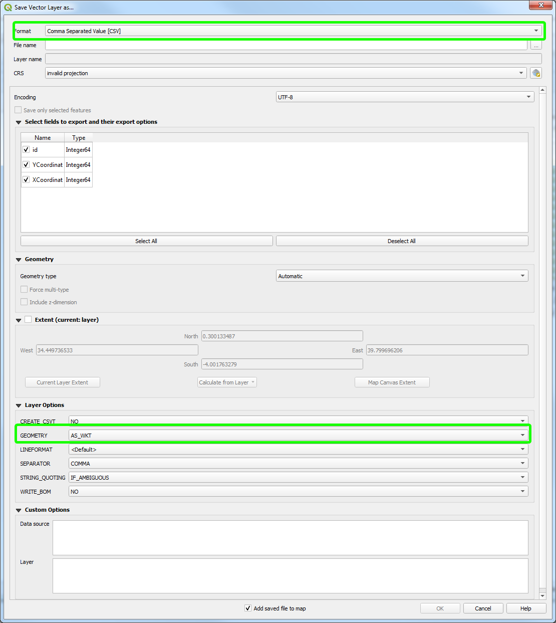
Dear Radost, You are right, Fusion tables are discontinued and the proposed method to upload polygons is not working any more! I have just released today a new version of Collect Earth (1.12.5) that fixes this by allowing the use of Well-Known-Text WKT or GeoJSON strings as opposed to the previous KML format. This means that if one of the columns in the CSV of plots is a WKT or GeoJSON geometry, it will be used to draw the polygon in Collect Earth. If you load a shapefile in QGis, you are able to export it to CSV ( see image in the bottom), and one of the options is to add the WKT geometry as a column, this is far easire than the previous methodology. You still need to add an extra "From CSV" parameter to your survey called geo or geometry, which will be used to store the WKT geometry. This is an example of a survey (with no questions) that is using a geometry column with WKT multipolygons : Super Simple WKT Survey The CSV used in this case looks like this (the vertices of the geometries are removed as it gets quite long): Let me know if you have problems arranging your survey!
|
|
GeoJSON is also supported, important to note that if you want to add extra data to the plots the geometry column must be the last one in the CSV!
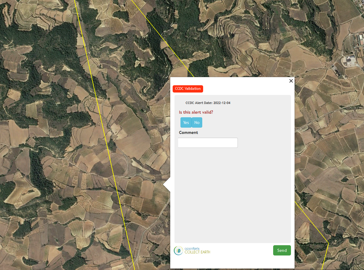
This is an example of a survey to validate CCDC alerts using GeoJSON Polygons. DOWNLOAD CEP
|


